About Mapping Energy
The Mapping Energy project created a learning opportunity for Year 12 students from eight secondary schools across the capital to think about alternative energy sources for historic churches in the Square Mile. It is part of a larger project that is taking place during 2025 to develop ways to progress the Square Miles Churches movement towards Net Zero Carbon in 2040. Working with engineers at the start of their careers, the students were introduced to the subject by energy engineers from the City of London, Transport for London, Greater London Authority, Nottingham Trent University and officers from the Diocese of London. The project took place over an academic year and included webinars, site visits (Bunhill Energy, City Gen and St Andrew by the Wardrobe) to explore existing heat sources as well as visits to churches. Students were also given advice by a practicing artist and educationalist, to support the presentation and final display of their work.
The project was called Mapping Energy because it took at map as a literal way of organising the project. A map of the Square Mile Churches was divided into 12 sections and each team (students & engineers) were allocated that section. The churches within each section were the locus for applying learning from the webinars. Students met with incumbents or PCC administrators to understand the heritage and conservation needs of the , measured and compared heat levels in their church, on the pavement outside at in the nearest underground station. They considered options for sustainable heat sources that took into consideration energy from underground rivers (Fleet and Walbrook), excess heat from the London underground system, as well as where there were opportunities to connect into the city’s heat networks.
Key outcomes
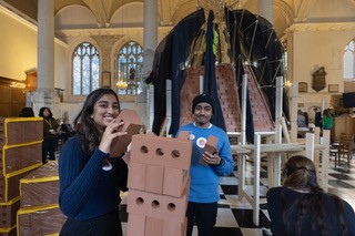
A final celebration day of the project (June 2025) brought all participants together to present a model of their church and connect it to a model map of the city, linking to their recommended heat sources. Student teams also created posters and gave presentations of their findings from the project to an invited audiences of parents, school representatives and the Bishop of London.
A citizen science guidebook was created by two of the participating engineers and this will be shared on the Square Mile Churches website as well as to students studying at Nottingham Trent University. The map is currently on display at The Green Skills Hub, Fleet Street and will continue its tour during 2025 and be on display at St Michael’s Paternoster Royal.